When the facts change, I change my mind. What do you do? -- John Maynard Keynes
Tropical Storm ERIKA, Path, Forecast, Graphics, Information
 |
| Satellite view (click on images to enlarge) |
 |
| Tropical Storm ERIKA graphic - source: National Hurricane Center |
 |
| NHC graphic above |
nhc.noaa.gov:
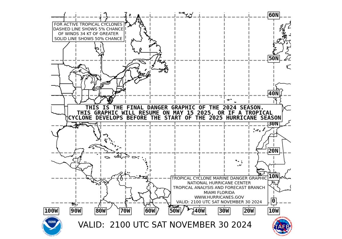
The Mariners' 1-2-3 Rule, or "Danger area", is indicated by shading. The 1-2-3 Rule, commonly taught to mariners, refers to the rounded long-term NHC forecast errors of 100-200-300 nautical miles at 24-48-72 hours, respectively. The contour defining the shaded area is constructed by accounting for those errors and then broadened further to reflect the maximum tropical storm force (34 knot) wind radii forecast at each of those times by the NHC. The NHC does not warrant that avoiding these danger areas will eliminate the risk of harm from tropical cyclones. Users operating in the vicinity of these systems are advised to continually monitor the latest Forecast/Advisories from the NHC and proceed at their own risk. Areas are also shaded for systems in which NHC forecasters believe there is an adequate chance of tropical cyclone formation within the next 48 hours. source: National Hurricane Center
For current information:


